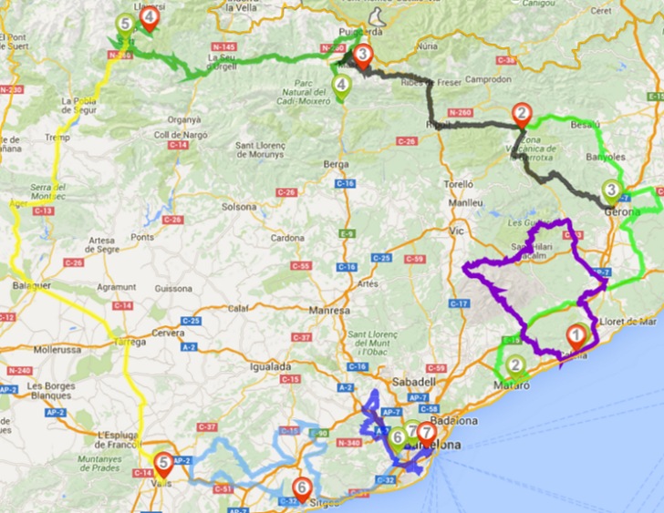
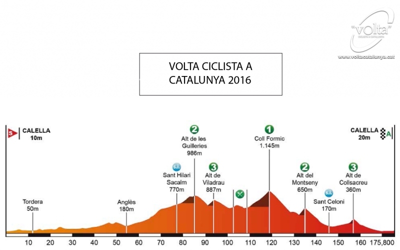
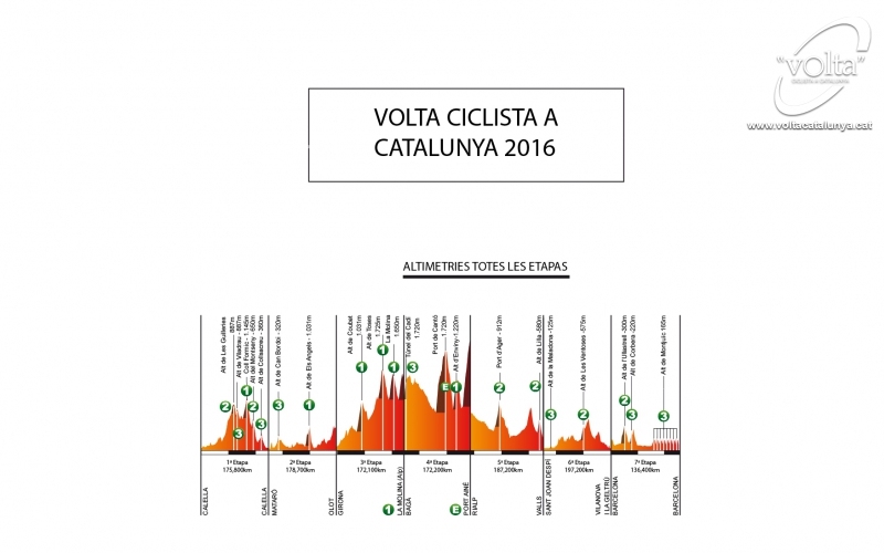
Volta a Catalunya 2016 Route stage 1: Calella – Calella
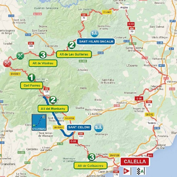
In order of appearance Alt les Guilleries, Alt de Villadrau, Coll Formic, Alt de Montserry and Alt de Collsacreu lay waiting for Froome, Contador, Aru, Quintana et al. While the start of the stage is muy tranquilo it is only after 95 kilometres the top of the Guilleries is reached, located at an elevation of 966 metres.
Following the descent of the Guilleries the Alt de Viladrau is merely a snack before a rolling section takes the riders to the foot of the Coll Formic, a 7.8 kilometres climb at 5.2% with a steepest section 9%. At an elevation of 1,145 metres the Formic is the highest point in the race.
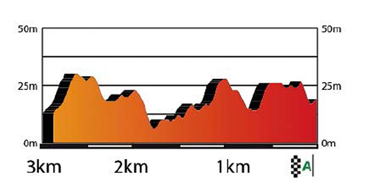
A long drop leads to the Alt de Montseny, named after the beautiful Parc Natural de Montseny that the pack has been racing now for quite a while. Again not a long ascent after which de plunge down continues till Alt de Collsacreu looms. The last obstacle in stage in the Volta a Catalunya is a 7.4 kilometres climd at 3%. A fast descent takes the riders in 18.6 kilometres to the line.
In the 2012 Volta a Catalunya Michael Albasini took the stage from Calella to Calella. In hindsight that victory was the basis for his GC win that edition. The next year Gianni Meersman outsprinted his fellow escapees at the end of a hilly stage, while Luka Mezgec was the victor in 2014's bunch sprint in Calella.
Last year a trio of escapees - Bart De Clercq, Maciej Paterski and Pierre Rolland – created such a gap the peloton was incapable to bring them back. Paterski sprinted to the stage win and leaders jersey.
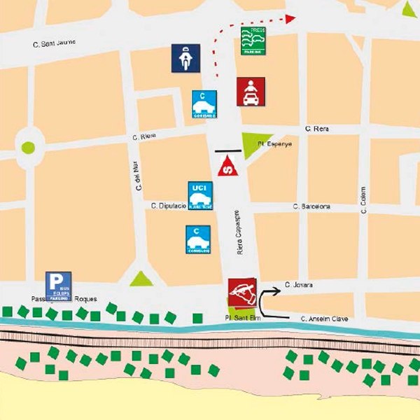
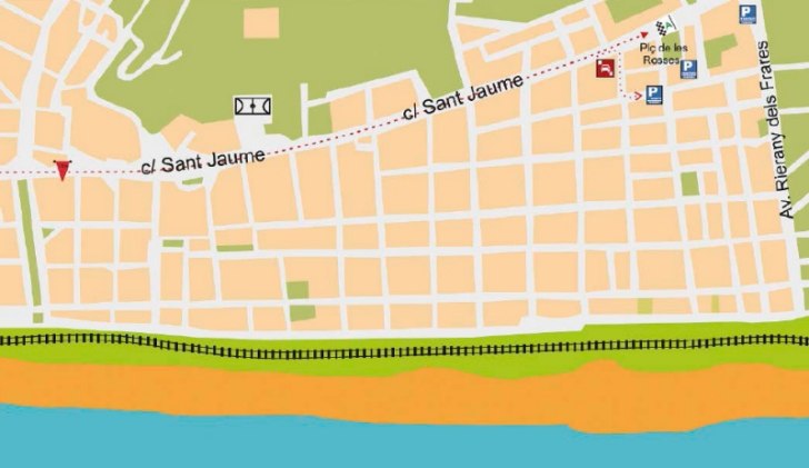
Calella is a sea side resort, located around 50 kilometres north of Barcelona, popular because of the long sandy beaches.
Race results/race report stage 1, Volta a Catalunya 2016.
Volta a Catalunya 2016 stage 1: Route maps, height profiles, etc.
Click the images to enlarge