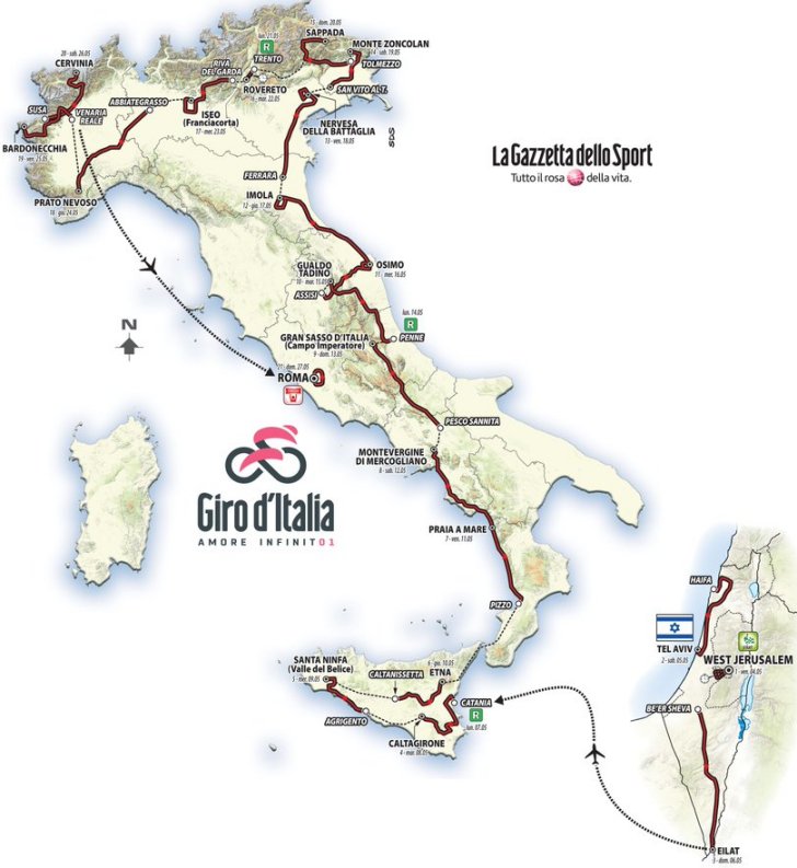
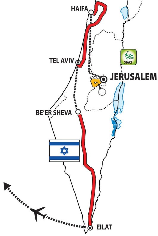
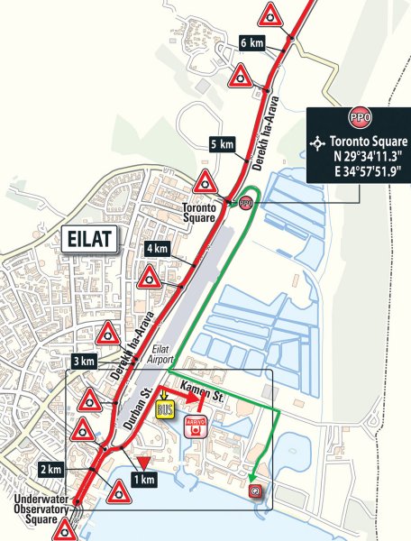
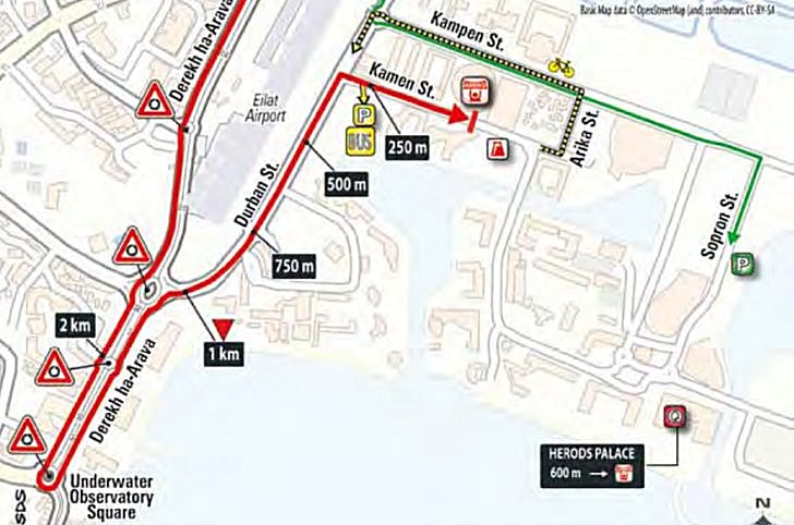
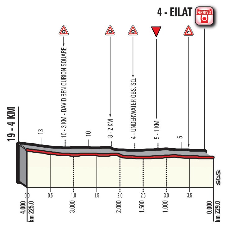
Giro 2018 Route stage 3: Be’er Sheva (isr) - Eilat (isr)
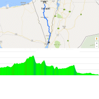
The desert begins Be'er Sheva in the north and runs all the way to the resort city of Eilat at its southern end. So the race basically covers the whole Negev. Eilat is located on the Red Sea.
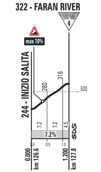
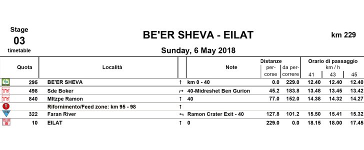
The route starts at an altitude of 295 metres and peaks, almost 80 kilometres into the race, at 840 metres. No steep climbs though, the course features quite a lot of false flat, although the last 50 kilometres are fairly straightforward - flat.
The Negev desert is arid and the temperature in May is around 26 degrees Celsius. The expected rainfall is next to nothing.
Fernando Gaviria was the best sprinter in the 2017 Giro d'Italia, powering to four stage wins.
The first three riders on the line take time bonuses of 10, 6 and 4 seconds, while the last of two intermediate sprints (at kilometre 45.2 and at kilometre 77.0) comes with 3, 2 and 1 seconds.
Read also: results/race report 3rd stage 2018 Giro d'Italia.
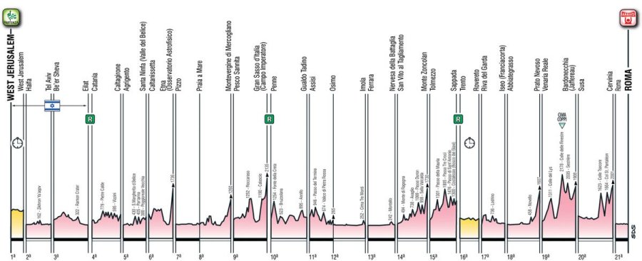
Giro d'Italia 2018 stage 3: Route maps, height profiles, and more
Click the images to enlarge