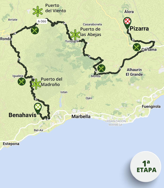
Ruta del Sol 2026 Route stage 1: Benahavís – Pizarra
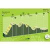
Last year, the final stage of the Ruta del Sol started in Benahavís, and over the first 50 kilometres the riders follow exactly the same roads. Shortly after the start, they tackle the Puerto del Madroño, a 19.8-kilometre climb at an average gradient of 4.9%. The summit is not even the highest point of the route, as a few kilometres later they also climb to the Mirador del Igualeja, perched at 1,113 metres above sea level.
A 20-kilometre descent then leads to Ronda, famed for its dramatic gorge and historic centre. Last year, the riders turned west at one of Andalusia’s most scenic towns - this time they head east, straight onto the Puerto del Viento, a climb of 6.3 kilometres at an average gradient of 4.4%.
After a 14-kilometre descent – with an uphill section halfway down – the riders reach El Burgo. This marks the start of the Puerto de las Abejas, which rises for 4.1 kilometres at 5.6%. With its summit just beyond halfway through the stage, it is the last serious climb of the day.
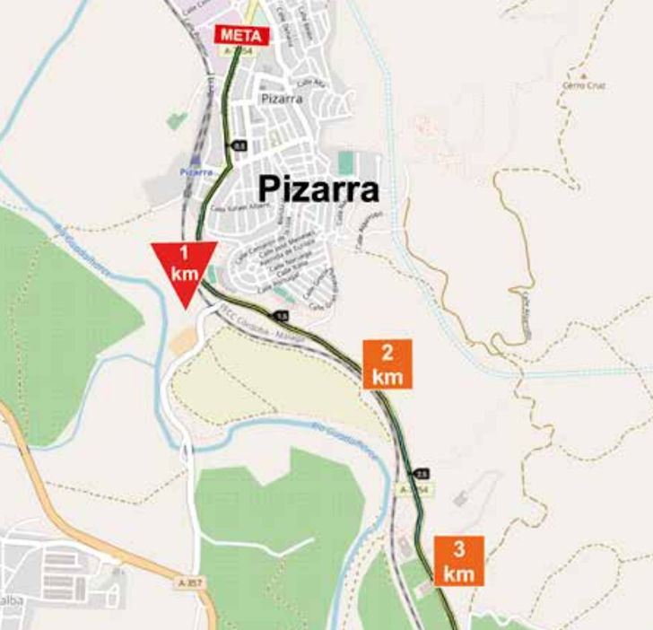
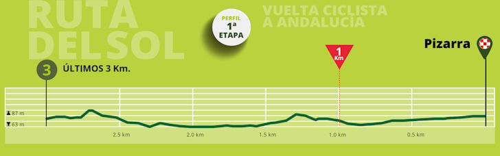
A descent of more than 20 kilometres takes the riders to the foot of the final uphill section, which rises for 6.4 kilometres at 3.8% to Guaro. As they pass through the village, there are still well over 40 kilometres to go, consisting of rolling or downhill roads, while the final 25 kilometres are flat.
Ride the route yourself? Download GPX 1st stage 2026 Ruta del Sol.
Another interesting read: results 1st stage 2026 Ruta del Sol.
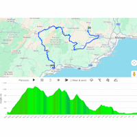
Ruta del Sol 2026 - stage 1: routes & profiles
Click the images to enlarge
Comment
No comments yet, please share your view!