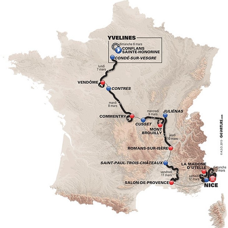
Paris - Nice 2016 Route stage 4: Juliénas – Romans sur Isère

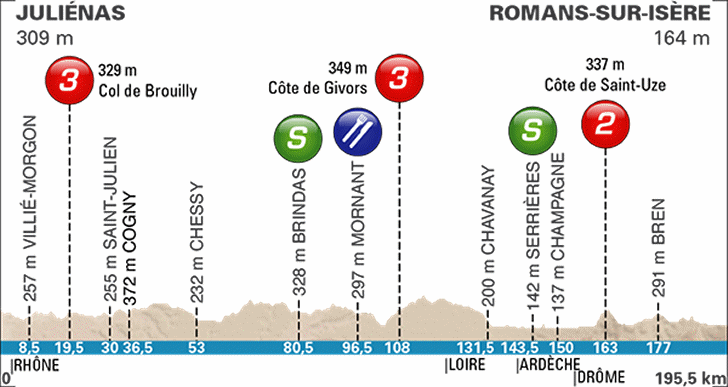
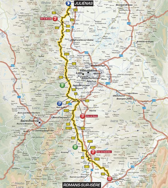
As the crow flies, departure place Juliénas is 20 kilometres away from Mont Brouilly, yesterday's arrival place after a steep closing climb. In stage 4 the riders leave the village for a stage in which they never stray far from the valley of the Saône River.
At an elevation of 349 metres, Côte de Givors is the highest point of the day, reached with 108 kilometres done. The toughest is the Côte de Saint-Uze: 2.8 kilometres at 6.5 % and category 2. At the top it is 32.5 kilometres left.
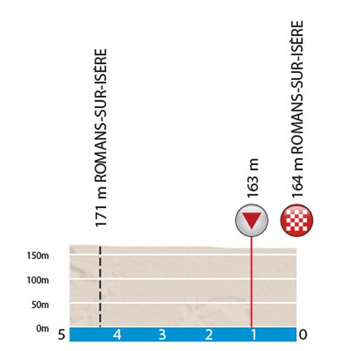
Arrival town Romans-sur-Isère is close to Valence, where André Greipel won stage 15 in last year's Tour de France. It was his third victory and the German still had one more left in the pipeline - at Champs Elysees.
Race results/race report stage 4, Paris-Nice 2016.
Paris – Nice 2016 stage 4: Route maps, height profile, and more
Click the images to enlarge